You have no items in your shopping cart.
Garmin Navionics+ Charts
Garmin Navionics+ Charts bring a host of features making them a great all-in-one package for your Garmin chartplotter/combo units.

Detail rich mapping of coastal interests aswell as intergrated Garmin and Navionics content.

Daily Chart updates with on-year included subscription.
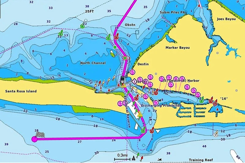
Auto guidance technology gives you suggested dock-to-dock routes through ideal marinas, inlets and Channels where available.

Depth Range shading makes it easy to view designated depths clearly so you can scout out the types of areas you want to Fish.
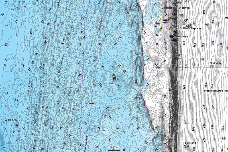
Improved contouring up to 1' makes fishing and navigating a breeze with enhanced detail in swamps, canals, harbours etc.
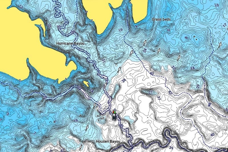
Shallow water shading at a user defined depth means you will never be caught out again.