You have no items in your shopping cart.
EGNOS
Acronym for European Geostationary Navigation Overlay Service. A Satellite-Based Augmentation System (SBAS) used to improve the accuracy of GPS. The system consists of ground stations to produce correction data, and satellites that send the data to the GPS Receiver in the same Frequency Range used for GPS signals. The system is expected to provide positioning accuracy better than 2m 99% of the time. EGNOS is the European variant of >WAAS, the Indian version is the GPS Aided Geo Augmented Navigation (GAGAN) and the Japanese have Multi-functional Satellite Augmentation System (MSAS).
Related Products
-
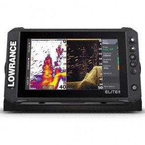
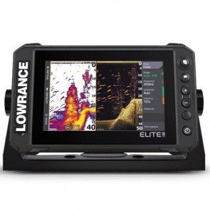
Lowrance Elite 9 FS Combo inc. Active Imaging 3-In-1 T/D
RRP: $2,099.99
NOW: $1,689.00
-
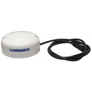
Lowrance Point 1 GPS Antenna
RRP: $369.99
NOW: $314.50
-
Simrad GS25 GPS Antenna
RRP: $369.00
NOW: $313.50
-
Lowrance Elite 7 FS Combo inc. Active Imaging 3-In-1 T/D
RRP: $1,749.99
NOW: $1,429.00
-
B&G ZG100 GPS Antenna
RRP: $369.00
NOW: $313.50
-
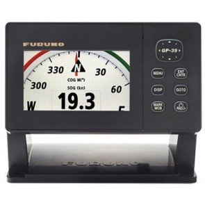
Furuno GP-39 GPS Receiver
RRP: $871.20
NOW: $857.50
-
Lowrance Point 1 AP GPS Antenna
$314.50 -
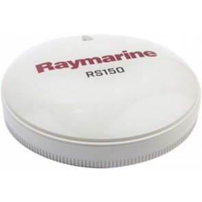
Raymarine RS150 GPS Antenna
RRP: $499.00
NOW: $474.00
-
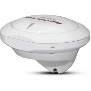
Raymarine AR200 Augmented Reality GPS Antenna Stabilisation Module
RRP: $1,039.00
NOW: $962.50
-
Lowrance Elite 7 FS Chartplotter
RRP: $1,349.99
NOW: $1,259.00
-
Lowrance Elite 9 FS Chartplotter
RRP: $1,999.99
NOW: $1,649.00
-
Lowrance Elite 7 FS Combo - Inc xSonic HDI M/H 455/800 Transducer
RRP: $1,449.00
NOW: $1,289.00